The map learns to pan and zoom — and stops ghosting the sea 715f0f9
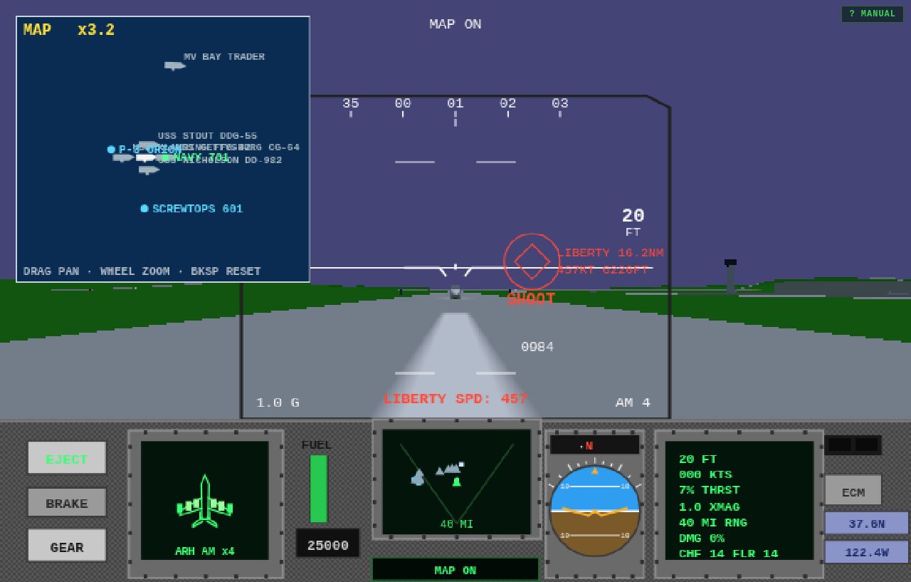
The tactical map (N) was always the whole bay or nothing, drawn at eighty-eight percent over the world — the sea shimmered through the chart like a double exposure. Both fixed:
- Drag to pan. Grab the chart with the mouse and pull it where you want it; the window slides over the whole 115-by-104-kilometre sheet. The gun politely stays silent while you’re dragging the map — no accidental bursts mid-brief.
- Wheel to zoom. Roll in up to twelve times closer for a proper look at the group: here’s GETTYSBURG, STOUT and NICHOLSON in formation with the carrier, SCREWTOPS 601 on station to the west. The zoom factor shows top-left; markers clip neatly to the chart edge.
- BACKSPACE reframes the whole bay in one tap.
- Fully opaque. The chart now draws solid — sea blue and land green, nothing bleeding through from the world behind it.